Browse Maps
| map | Title | Year | Last Updated | Status  |
|---|---|---|---|---|
|
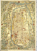
国立国会図書館デジタルコレクション インターネット公開(保護期間満了) (In 2 layers)
Links: Source / Biblio Ref
|
1850 | over 2 years ago | 20 control points |
|
|
2018 | over 6 years ago | 4 control points |

|
|
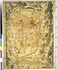
1813 | about 7 years ago | 15 control points |
|
|
2018 | over 6 years ago | 6 control points |
|
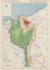
Image from the Map Collections courtesy Stanford University Libraries, licensed under a Creative Commons Attribution-Noncommercial 3.0 Unported License. © Stanford University. 【図幅名】 古場島 【測量時期】 大正10年測図 【発行時期】 昭和11年発行 【記号】 沖縄群島21号 【測量機関】 陸地測量部・参謀本部 【備考】 那覇15号
Links: Source / Biblio Ref
|
over 5 years ago | 4 control points | |
|
|
2022 | almost 2 years ago | 7 control points |
|
|
7 months ago | 5 control points | |

|
|
over 6 years ago | 4 control points | |
|
|
2022 | almost 2 years ago | 4 control points |
|
Image from the Map Collections courtesy Stanford University Libraries, licensed under a Creative Commons Attribution-Noncommercial 3.0 Unported License. © Stanford University. 【図幅名】 高浜 【測量時期】 明治34年測圖/昭和7年要部修正測圖 【発行時期】 【記号】 野母崎二号 【測量機関】 参謀本部 【備考】 祕
Links: Source / Biblio Ref
|
about 4 years ago | 4 control points | |
|
(In 3 layers)
|
over 6 years ago | 4 control points | |
|
|
over 6 years ago | 5 control points | |
|
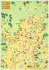
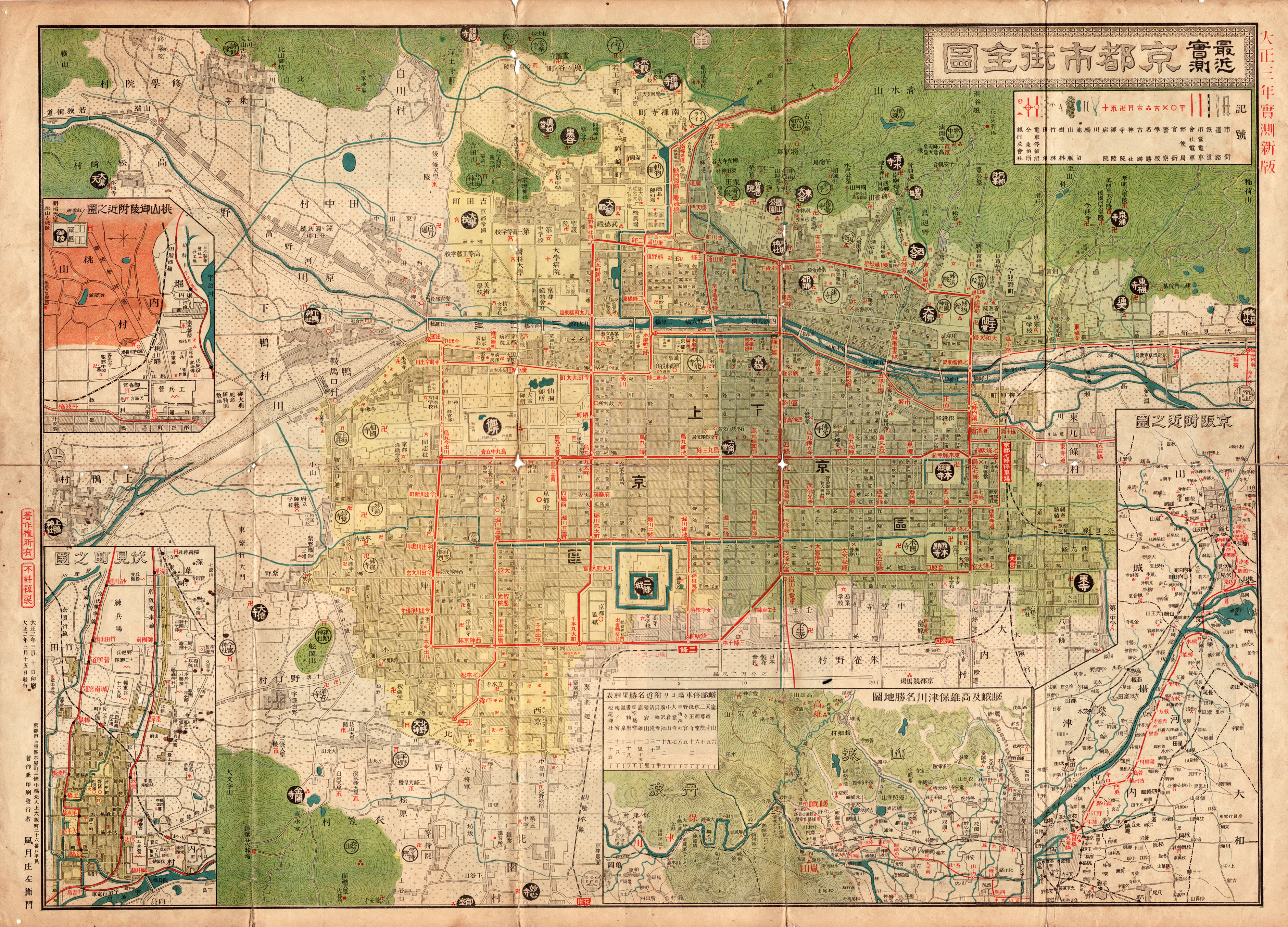
京都市の古地図
Links: Source / Biblio Ref
|
2017 | about 3 years ago | 5 control points |
|
Image from the Map Collections courtesy Stanford University Libraries, licensed under a Creative Commons Attribution-Noncommercial 3.0 Unported License. © Stanford University. 【図幅名】 【測量時期】 【発行時期】 【記号】 【測量機関】 【備考】
Links: Source / Biblio Ref
|
about 2 years ago | 4 control points | |

|
GIS day ワークショップ用
|
1863 | over 6 years ago | 3 control points |
|
|
7 months ago | 15 control points | |
|
|
7 months ago | 4 control points | |
|
|
2018 | over 4 years ago | 17 control points |
|
|
1879 | over 6 years ago | 3 control points |
|
|
1754 | over 6 years ago | 5 control points |
|
|
2018 | over 4 years ago | 4 control points |

|
|
2018 | over 6 years ago | 11 control points |
|
Links: Source / Biblio Ref
|
1944 | over 6 years ago | 64 control points |
|
Links: Source / Biblio Ref
|
1741 | over 6 years ago | 9 control points |

|
|
1854 | over 6 years ago | 4 control points |
|
|
2018 | over 6 years ago | 4 control points |
|
|
1858 | over 6 years ago | 3 control points |
|
Links: Source / Biblio Ref
|
1863 | over 6 years ago | 3 control points |

|
|
2017 | over 6 years ago | 9 control points |
|
|
2018 | over 6 years ago | 5 control points |
|
|
1863 | over 6 years ago | 4 control points |
|
|
2022 | almost 2 years ago | 7 control points |

|
|
1754 | over 6 years ago | 3 control points |
|
|
1848 | over 6 years ago | 5 control points |

|
|
2018 | over 6 years ago | 4 control points |

|
|
1863 | over 6 years ago | 3 control points |
|
|
1813 | over 6 years ago | 4 control points |
|
|
2022 | almost 2 years ago | 4 control points |
|
Links: Source / Biblio Ref
|
2020 | over 1 year ago | 4 control points |

|
Links: Source / Biblio Ref
|
1863 | over 6 years ago | 5 control points |
|
|
1892 | about 7 years ago | 26 control points |
|
|
1879 | over 4 years ago | 5 control points |
|
Image from the Map Collections courtesy Stanford University Libraries, licensed under a Creative Commons Attribution-Noncommercial 3.0 Unported License. © Stanford University. 【図幅名】 里村 【測量時期】 明治34年測図/昭和11年修正 【発行時期】 【記号】 甑島1号(共4面) 【測量機関】 参謀本部 【備考】 秘
Links: Source / Biblio Ref
|
about 4 years ago | 4 control points | |
|
Links: Source / Biblio Ref
|
2020 | over 1 year ago | 16 control points |
|
Image from the Map Collections courtesy Stanford University Libraries, licensed under a Creative Commons Attribution-Noncommercial 3.0 Unported License. © Stanford University. 【図幅名】 奥 【測量時期】 大正10年測圖 【発行時期】 大正12年発行 【記号】 沖縄郡島一号 【測量機関】 陸地測量部・参謀本部 【備考】 軍事極祕(戦地ニ在りテハ軍事祕密トス)
Links: Source / Biblio Ref
|
over 5 years ago | 4 control points | |
|
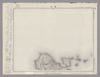
Image from the Map Collections courtesy Stanford University Libraries, licensed under a Creative Commons Attribution-Noncommercial 3.0 Unported License. © Stanford University. 【図幅名】 沖永良部島 【測量時期】 大正9年測圖 【発行時期】 昭和11年発行 【記号】 奄美大島要塞近傍十八号 【測量機関】 陸地測量部・参謀本部 【備考】 軍事極祕(戦地ニ在りテハ軍事祕密トス)
Links: Source / Biblio Ref
|
over 5 years ago | 4 control points | |
|
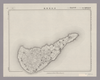
Image from the Map Collections courtesy Stanford University Libraries, licensed under a Creative Commons Attribution-Noncommercial 3.0 Unported License. © Stanford University. 【図幅名】 平土野 【測量時期】 大正9年測圖 【発行時期】 昭和11年発行 【記号】 奄美大島要塞近傍十七号 【測量機関】 陸地測量部・参謀本部 【備考】 軍事極祕(戦地ニ在りテハ軍事祕密トス)
Links: Source / Biblio Ref
|
over 5 years ago | 4 control points | |
|
|
1854 | over 6 years ago | 6 control points |
|
Links: Source / Biblio Ref
|
2020 | over 1 year ago | 11 control points |
|
Image from the Map Collections courtesy Stanford University Libraries, licensed under a Creative Commons Attribution-Noncommercial 3.0 Unported License. © Stanford University. 【図幅名】 二神島 【測量時期】 大正12年測図の縮図/昭和10年修正、測図の縮図 【発行時期】 昭和21年11月発行 【記号】 唐津7号(共8面) 【測量機関】 内務省地理調査所 【備考】
Links: Source / Biblio Ref
|
about 4 years ago | 4 control points |